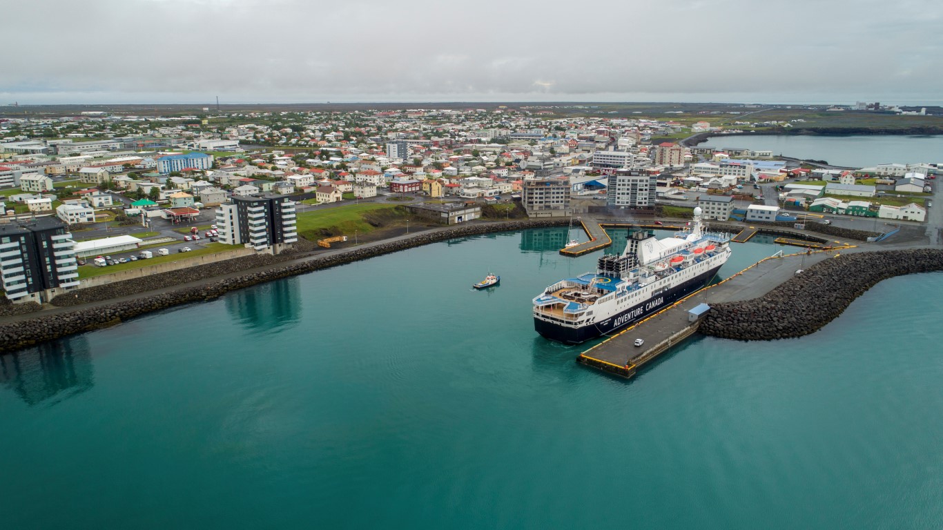
Reykjanesbær is a lively and youthful town on the Reykjanes peninsula, serving as the primary hub for services and recreation in the area. The town centre features Keflavik harbour, with local shopping, restaurants, and the historic “old town of Keflavik” all within easy walking distance, offering a variety of experiences.
Adjacent to Iceland’s main international airport and situated within the Reykjanes UNESCO Global Geopark, Reykjanesbær presents excellent opportunities to combine layovers with visits to the geological wonders of the Geopark, local museums, exhibitions, and recreational activities like walking paths and the Water World swimming pool.
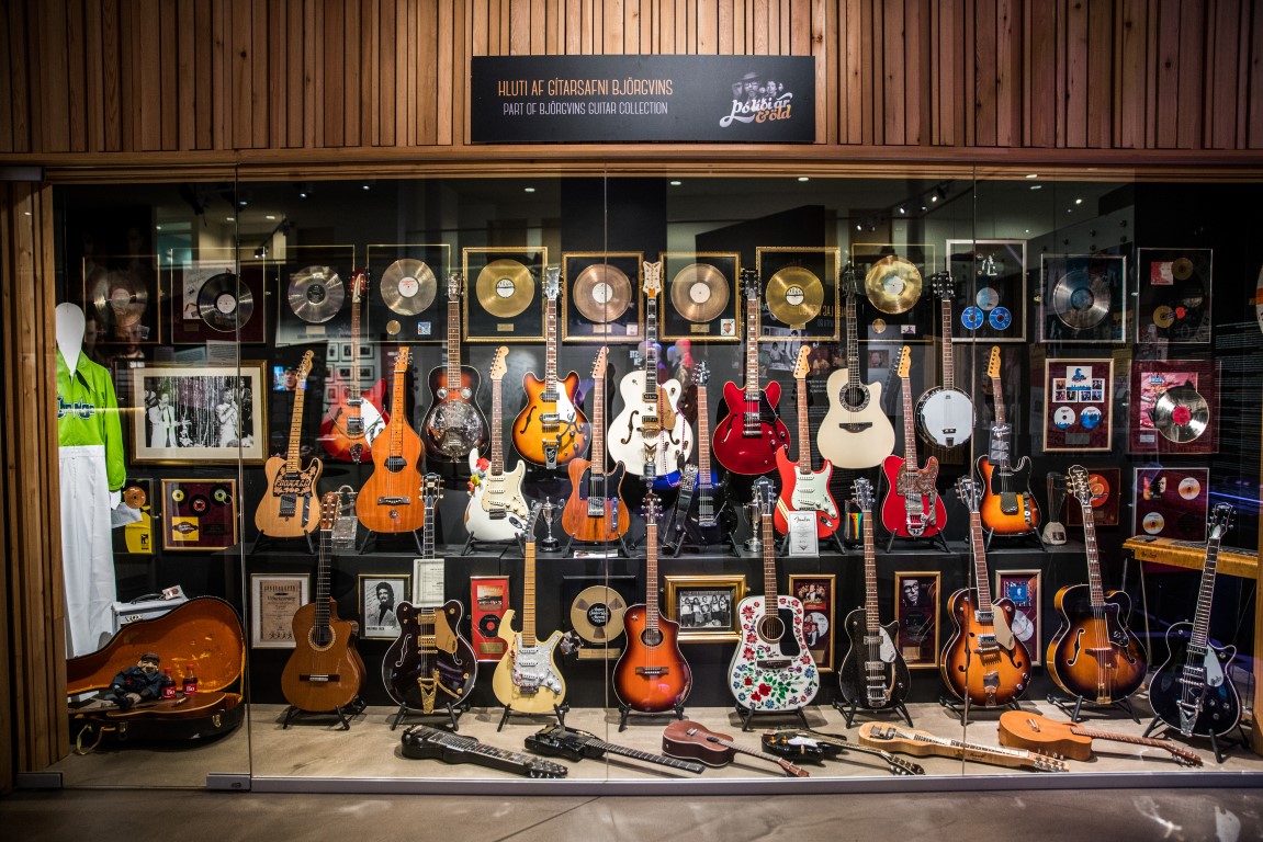
Both the Reykjanes peninsula and Reykjanesbær offer diverse recreational options and have a rich musical tradition, with vibrant cultural events shaped by natural forces over the centuries. The town features unique characters such as Giganta in the cave from a children’s story and stone trolls scattered throughout. Reykjanesbær is home to The Viking World Museum, The Icelandic Museum of Rock & Roll, and the Duus Museum and Cultural Centre, which houses the Reykjanes Heritage Museum and the Reykjanes Art Museum. The town hosts a variety of events year-round, from local art exhibitions to concerts and town festivals.

Attractions
The Reykjanes Geopark is recognized by UNESCO, the United Nations Educational, Scientific and Cultural Organization, as a UNESCO Global Geopark.
Geoparks are areas where sites and landscapes that are of international geological significance are managed with a holistic concept of protection, education and sustainable development.
The Reykjanes Geopark lies on major tectonic plate boundaries along the Mid-Atlantic Ridge, part of the 65,000km mid-ocean ridge that encircles the earth.
Although 90% of this mountain range lies deep below the surface of the ocean, it rises above sea level right here on the Reykjanes Peninsula, making it one of the only places on Earth where it is visible.
The Eurasian and American tectonic plates drifting apart by about 2-2.
5 centimetres yearly.
Among the many attractions in the area is the Bridge between Continents, a walkway over a fissure between the two tectonic plates, offering a chance to walk from Europe to America in a symbolic geological sense.
Blue Lagoon
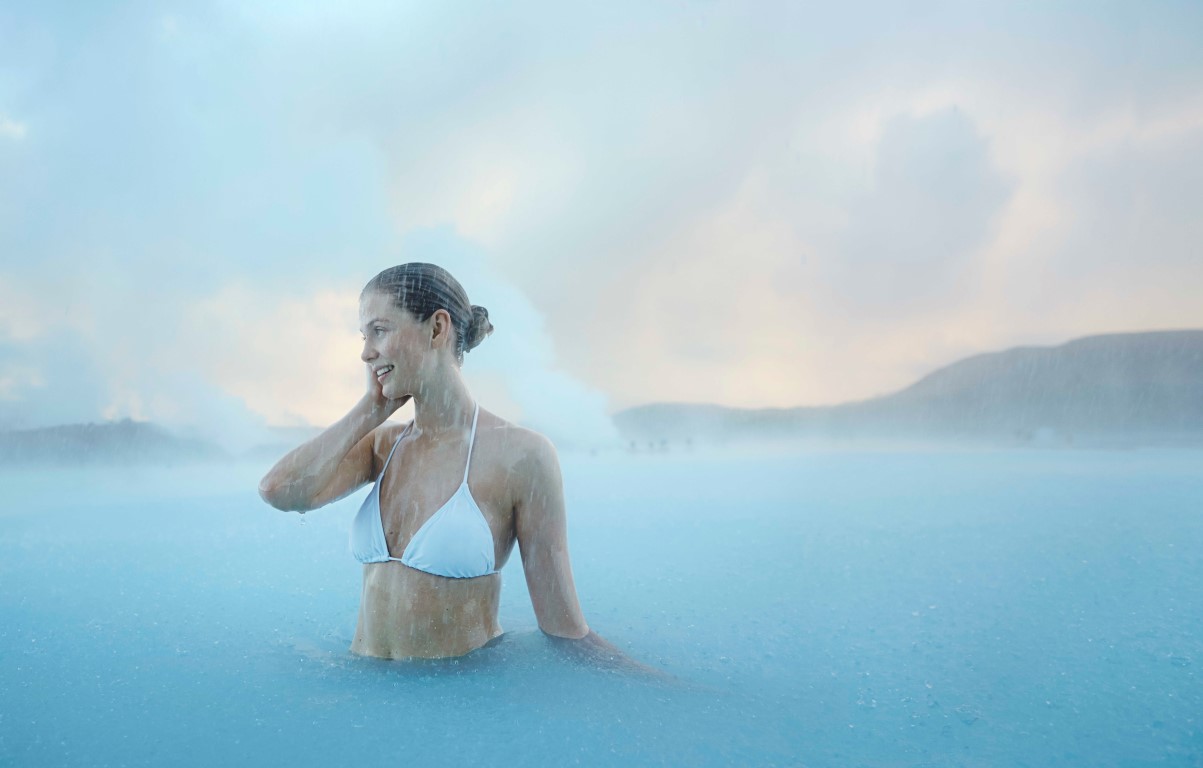
As part of the geological resources in the geopark the renowned Blue Lagoon is an example of how the excess resource streams from the geothermal power plants can be fully utilised.
Excess resource streams have been used by an incredibly varied range of businesses, such as the Blue Lagoon, cosmetics manufacturers, biotechnology companies and aquaculture.
These are the same resources that are used for mundane things like heating houses, swimming pools and, of course the geothermal hotpots.
Gunnuhver
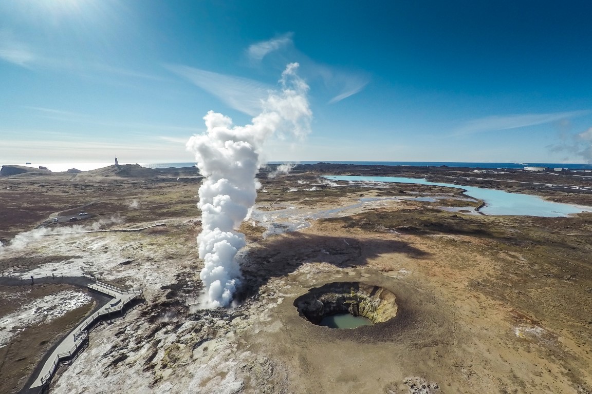
The geothermal activity in the area can be breathtakingly witnessed in the Gunnuhver area, a grouping of bubbling mud and steam springs rising through the soil with its impressive sights and sounds.
Leaving visitors with a clear sense of the natural energy in the area.
Surrounded by a lava field and old volcanic craters, the area offers visitors an experience of a different kind of nature than they are used to.
The Lighthouse on Garðskagi
On Garðskagi you can find two lighthouses.
The older one and the smaller one were once regarded as one of the best lighthouses in Iceland because they stood low and therefore mist was not a problem.
Although there was a risk of the lighthouse being damaged because of surf and it was sometimes not visible because of sea storm.
A new lighthouse was built on Garðskagi in 1944.
At 28 metres, it is the highest lighthouse in Iceland and was second in a survey which Rögnvaldur Guðmundsson supervised concerning the favourite lighthouses of the Icelandic people.
Engineer Axel Sveinsson designed the lighthouse, but the lighthouse is a radar transponder and used for weather surveillance.
The operation of the lighthouse is under the supervision of the Icelandic Maritime Administration.


- Popular tours
- Blue Lagoon
- Reykjanes Peninsula
- Reykjanes UNESCO Global Geopark
- Gunnuhver
- The Lighthouse on Garðskagi
General information | |
| Pilot | Yes |
| Tidal movement | 4.2 m |
Maximum ship dimensions | |
| Keflavik Harbor | |
| Length | 165 m |
| Draft | 6,5-13 m |
| Air draft | No restrictions |
| Beam | No restrictions |
Anchorage | |
| Available | Yes |
| Pontoons | No |
| Tugboats | Yes, up to 40 t pull up on request |
| Type of bottom | Clay |
| Minimum depth | 20 m |
| Distance from anchorage to tender pier | 0.4 nautical mile |
Port services | |
| Bunkers | Yes |
| Supplies | Yes |
| Waste handling | Yes |
| Fresh water | Yes |
| Pilot channel | 12 |
| Emergency channel | 16 |
| Medical emergency | 112 |
| ISPS approved | Yes |
| Ship tenders | No |
| Crew facilities | No |
Transportation | |
| Shuttle services | Yes |
| Excursion buses | Yes |
| Taxis | Yes |
| Public transportation | Yes |
| Rental cars | Yes |
Passenger facilities | |
| Terminal building for passengers | No |
| Tourist information | Yes |
| Shopping | Yes |
| Restrooms | Yes |
| Local currency | ISK |
| Currency exchange | Yes |
| ATM | Yes |
| Internet access | No |
| Guide service | No |
| City maps | Yes |
| Public telephones | No |
| Mailboxes | Yes |
Distances | |
| City centre | 0.5 km |
| Airport | 5km Keflavík airport (International) and 55km Reykjavík airport (Domestic) |
Contact info | |
| Visiting address | Víkurbraut 11, 230 Reykjanesbær |
| Contact person | Halldór K. Hermannsson, Harbour Master |
| Mobile | T: +354-4203220 M: +354-8976300 |
| Website | www.reykjaneshofn.is www.reykjanesbaer.is |
halldor.k.hermannsson@reykjanesbaer.is | |

