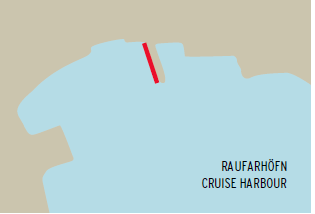
Raufarhöfn is a small seaside village on the Arctic Edge, making it one of the northernmost places in Iceland. The village, home to around 200 residents, primarily relies on fisheries, though tourism is steadily growing. Its harbor, naturally framed by a cape, provides a unique and scenic guide for ships arriving on shore.
Known for its tranquility and surrounded by spectacular nature, Raufarhöfn is located near a national park, just a 40-minute drive from the spot where Sleipnir, Odin’s horse from Norse mythology, is said to have left his hoofprint. Nearby, in the village of Kópasker, only half an hour away, visitors can explore an earthquake museum and a folk museum. Between Raufarhöfn and Kópasker lies a magnificent prairie with diverse birdlife.
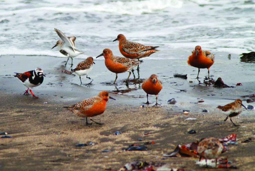
Raufarhöfn is situated on Melrakkaslétta, a region renowned for its lakes, excellent for fishing, and visited by numerous bird species annually. Known locally as “The Prairie,” Melrakkaslétta is celebrated for its stunning beauty and mesmerizing solar displays during summer evenings when the sun lingers on the horizon. The Northernmost point of Iceland, Hraunhafnartangi, is located here. The prairie hosts at least 53 bird species that lay eggs each year, with sea and moorland birds dominating the landscape.
One of Iceland’s newest attractions, Raufahafnarport, is noted for its natural surroundings and tranquility. Visitors are greeted warmly by the residents and can enjoy the peaceful environment.
While admiring the birdlife and nature, you can hike up to the Arctic Henge, which, similar to Stonehenge, functions as a massive sundial. It captures the sunrays, casts shadows in precise locations, and frames the light through aligned gateways. Just a half-hour drive away, you’ll find Ásbyrgi, a gigantic horseshoe-shaped rock formation. Ásbyrgi, along with its geological wonders like Hljóðaklettar and Dettifoss, is one of Iceland’s most admired walking destinations.
Attractions
Hraunhafnartangi and Rifstangi are the northernmost points of Iceland, at the edge of the arctic circle.
Hraunhafnartangi derives its name from the natural harbour which is mentioned in 13th century literature.
Þorgeirsdys, a stone mound found on Hraunhafnartangi, is believed the burial mound of Þorgeir Hávarsson who was slain there in an epic 11th century battle chronicled in Fóstbræðrasaga.
Visitors who bring pictures of themselves by Hraunhafnartangi lighthouse can receive a certificate from local service providers of having been to the northernmost point of the Icelandic mainland.
Please note that the elder duck is protected under Icelandic law and all access to the nesting area and its surroundings is prohibited between April 15th and July 14th.
Arctic henge
The Arctic-Henge has its roots in the innovators Erlingur Thoroddsen’s speculations about the possibility to use endless vistas, where nothing obstructs the horizon, and the midnight sun.
The idea to use the dwarf names from the edict poem Völuspá (Prophecy of the Seeress) and modernize some aspects of the old world of the Sagas, soon became a part of these speculations.
The first version of the idea is from 1998 but in 2004 it was finalized, with allusions to mythology and folklore, designed to interact with the unique natural light.
The designer of the project is Haukur Halldórsson.
Inside the circle are 68 dwarfs who stand around a circular dwarf trail.
Inside the trail is the polar star pointer and does exactly what its name says.
There you can also find the throne of the sun that is meant to be a place where the traveller can sit down to have his picture taken.
Also, a hall of rays, which is a sort of sanctuary between high columns, with one seat, where the guest can empty his mind an renew his energy.
An altar of fire and water, reminds us of the power of the elements, where events can be performed, for example weddings, oath-taking and so forth.
Like its ancient predecessor, Stonehenge, the Arctic Henge is like a huge sundial, aiming to capture the sunrays, cast shadows in precise locations and capture the light between aligned gateways.
Snartarstaðir - District Folk Museum
Located at Snartarstaðir farm, just two kilometers from the village of Kópasker, this museum offers a distinctive collection of local artifacts that depict everyday life in the 19th and 20th centuries.
The exhibits feature a wide range of embroidery, woven textiles, knitted garments, and other unique handcrafted items.
Additionally, the museum showcases a variety of diverse objects, including toys, a firefighting chart, firearms, wood carvings, blacksmith creations, and much more.
The Earthquake Center in Kópasker
At the Earthquake Centre in Kópasker one can find installations and photographs on seismic activity around the world, aswell as in depth information about the region’s unusual geography.
Emphasis is set on the tectonic activity in the ’70s and ’80s which resulted in an earthquake in Kópasker but also the volcanic eruptions at Lake Mývatn.
In 1976 there was an earthquake 12km off the coast of Kópasker in Northeastern Iceland.
The earthquake caused large-scale damage to buildings in the village and part of the land nearby gave way to create two new lakes.
This was one of many events in the following decade which were symptomatic of heightened seismicity in the region.
Most famously, in nearby Lake Mývatn there were a series of volcanic eruptions along a fissure, now commonly known as the Krafla Fires.
Raufarhöfn Swimming Pool
Going to an Icelandic swimming pool is a unique experience.
The swimming pool in Raufarhöfn has an indoor pool as well as hot tub.
In the same building is a small sport hall, a gym, a sauna (steam and infrared) and a solarium.
The swimming pool is located next to the camp site.


- Popular tours
- Arctic Henge
- Hraunhafnartangi
- The Earthquake Center in Kópasker
- Snartarstaðir- The Northern Þingeyjarsýsla Heritage Museum
- Raufarhöfn Swimming Pool
General information | |
| Pilot | Yes, compulsory |
| Tidal movement | Approximately 1 m |
Maximum ship dimensions | |
| Hafnarbryggja | |
| Length | 95 m |
| Draft | 6 m |
| Air draft | No restrictions |
| Beam | No restrictions |
Anchorage | |
| Available | Yes |
| Pontoons | Yes |
| Tugboats | No |
| Type of bottom | Sand / Gravel |
| Minimum depth | 15 m |
| Distance from anchorage to tender pier | 1 nautical mile |
Port services | |
| Bunkers | No |
| Supplies | No |
| Waste handling | No |
| Fresh water | Yes |
| Pilot channel | 12 |
| Emergency channel | 16 |
| Medical emergency | 112 |
| ISPS approved | No |
| Ship tenders | No |
| Crew facilities | No |
Transportation | |
| Shuttle services | Yes, if ordered in advance |
| Excursion buses | Yes, if ordered in advance |
| Taxis | No |
| Public transportation | No |
| Rental cars | No |
Passenger facilities | |
| Terminal building for passengers | No |
| Tourist information | No |
| Shopping | Yes |
| Restrooms | No |
| Local currency | ISK |
| Currency exchange | No |
| ATM | No |
| Internet access | No |
| Guide service | Yes, if ordered in advance |
| City maps | Yes |
| Public telephones | No |
| Mailboxes | Yes |
Distances | |
| City centre | 0.1 km |
| Airport | 120 km Húsavík airport (Domestic) and 205 km Akureyri airport (Domestic / International) |
Contact info | |
| Visiting address | Port of Raufarhöfn, 675 Raufarhöfn |
| Contact person | Gunnar Páll Baldursson, Harbour Master |
| Mobile | T: +354-4646176 M: +354-8942989 |
| Website | www.nordurthing.is |
port@raufarhofn.is | |

